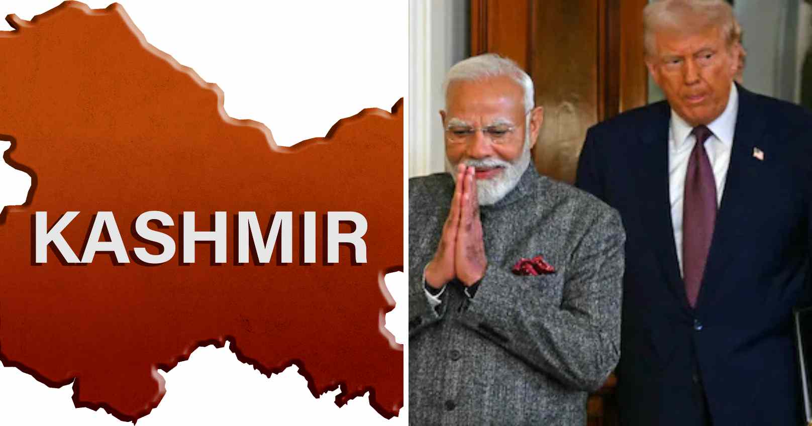
The United States has sent a clear geopolitical signal by publishing an official map that recognizes Jammu and Kashmir as an integral part of India, including areas currently under Pakistan’s control.
The map, released by the Office of the US Trade Representative, visually affirms India’s territorial boundaries without ambiguity, indicating Washington’s acceptance of India’s official political geography. The depiction underscores America’s reluctance to entertain Pakistan’s historical claims over the region.
This development is widely viewed as a diplomatic embarrassment for Islamabad, which has recently intensified efforts to strengthen ties with Washington. Pakistan’s Prime Minister Shehbaz Sharif and Army Chief Asim Munir have made repeated diplomatic visits to the US in an attempt to influence policy circles, but those efforts appear to have had limited impact.
The episode also reflects shifting political dynamics within Pakistan, where the military leadership has increasingly asserted dominance over civilian governance. Despite Pakistan remaining strategically relevant to US interests — particularly in defense trade and mineral resources — Washington has not indicated any willingness to support contested territorial narratives.
In contrast, India continues to be positioned as a critical global partner for the US, with growing influence across economic, strategic, and diplomatic fronts. The map release is being interpreted as a reaffirmation of India’s rising geopolitical significance.
The map was shared alongside trade-related material outlining tariff adjustments under a proposed India–US trade framework. According to the graphic, India plans to lower or remove duties on select American exports such as agricultural goods, processed food products, and alcoholic beverages. In return, the US has proposed tariff reductions on Indian imports and the rollback of certain additional duties.